
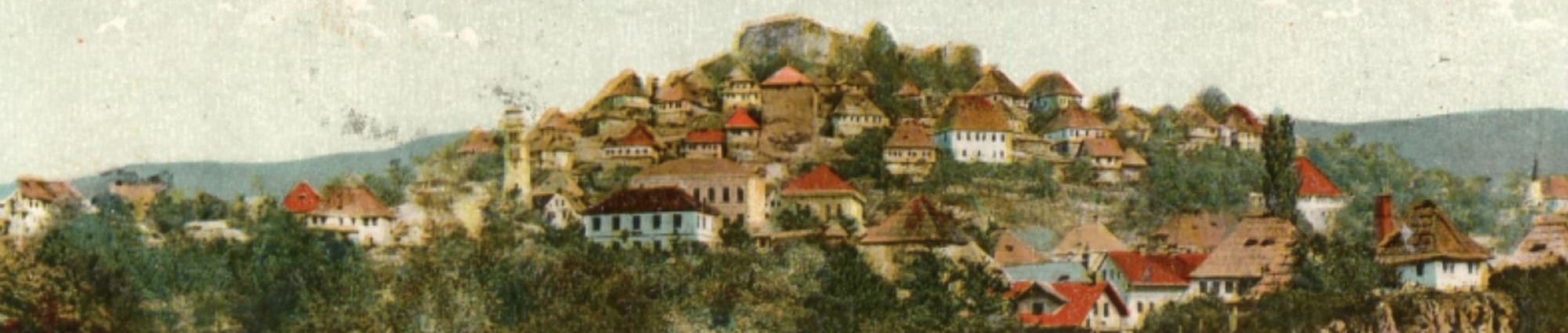
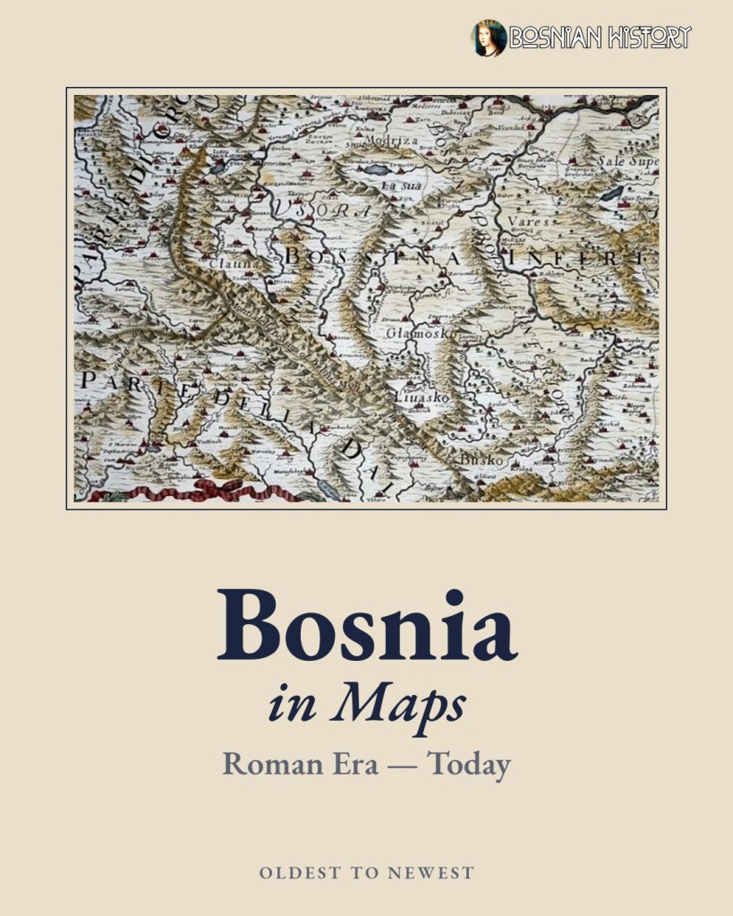
Empires rose and fell, borders shifted, and mapmakers in Rome, Venice, Vienna and Istanbul argued over how to spell it. Through all of it, one name kept coming back to the map: Bosnia.
We gathered 20 maps that trace the country from Illyrian and Roman times to today. Here is the story they tell.
Before the Name
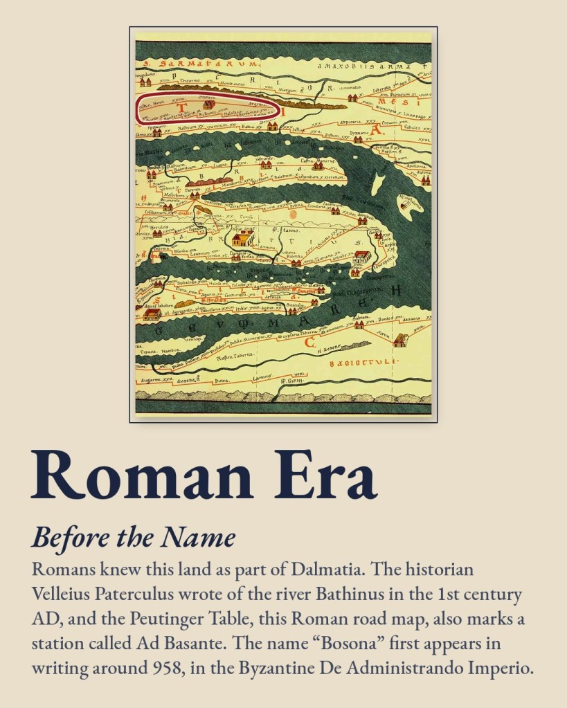
Long before “Bosnia” appeared on any map, the land was part of Roman Dalmatia. The historian Velleius Paterculus wrote of a river called the Bathinus in the 1st century AD. The Peutinger Table, a Roman road map that survives in a 13th-century copy, marks a station called Ad Basante. Both names may be early echoes of the river Bosna, which gave the country its name.
The name itself first appears in writing around 958. The Byzantine emperor Constantine VII describes the “small land of Bosona” in his De Administrando Imperio.
The Medieval Kingdom
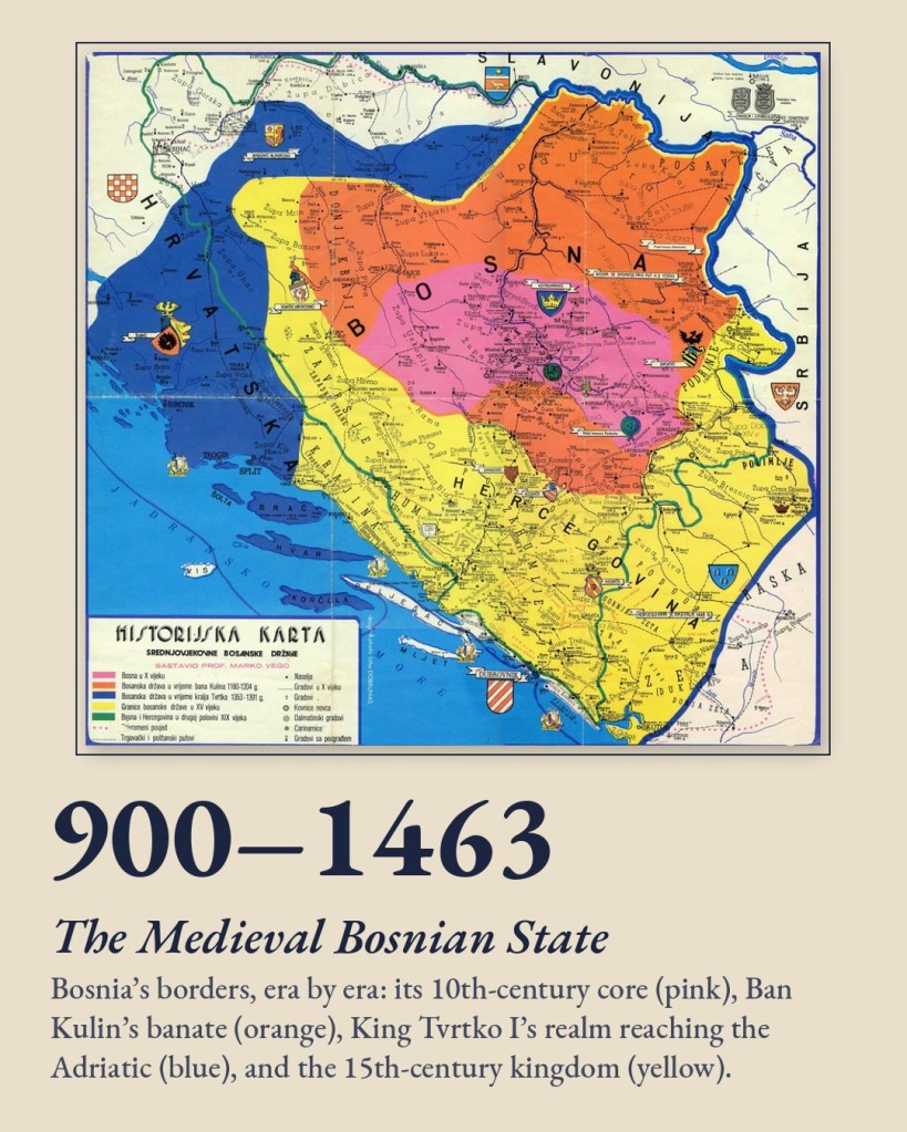
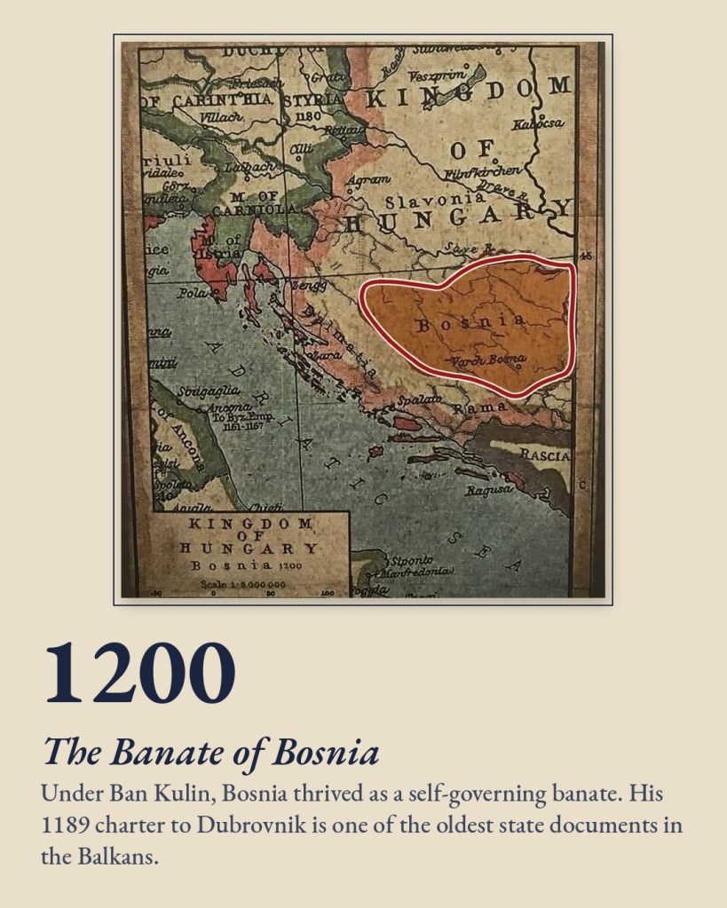
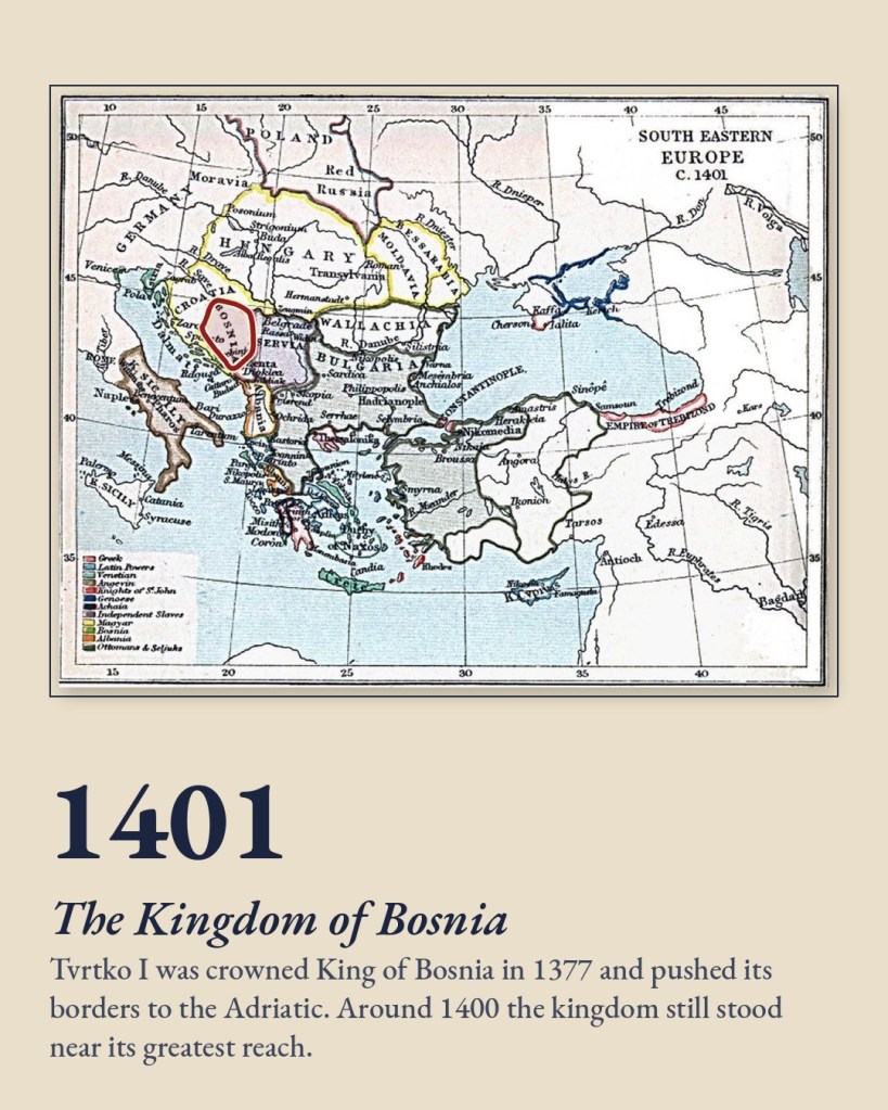
Under Ban Kulin (1180–1204), Bosnia thrived as a self-governing banate. His 1189 charter to Dubrovnik is one of the oldest state documents in the Balkans. In 1377 Tvrtko I was crowned King of Bosnia, and his realm stretched all the way to the Adriatic.
Marko Vego’s historical map, featured in the work of Mustafa Imamović, shows that growth in colour. It moves from the 10th-century heartland, through Kulin’s banate and Tvrtko’s kingdom, to the borders of the 15th century.
Known to the World
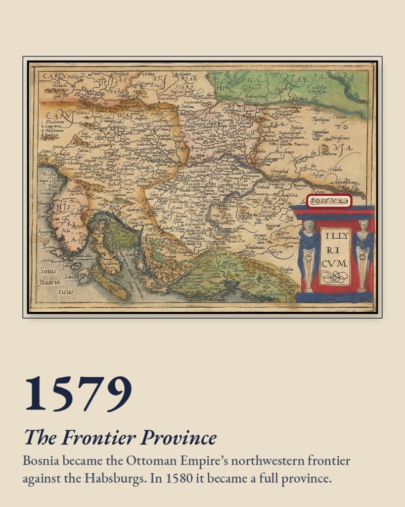
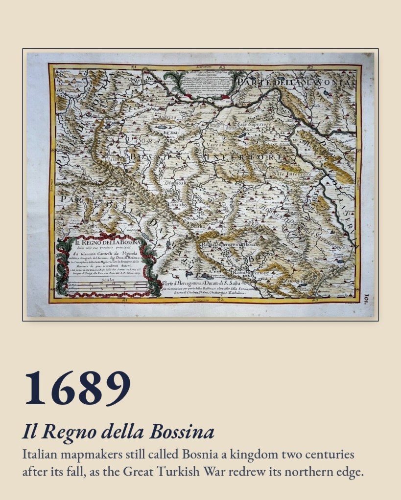
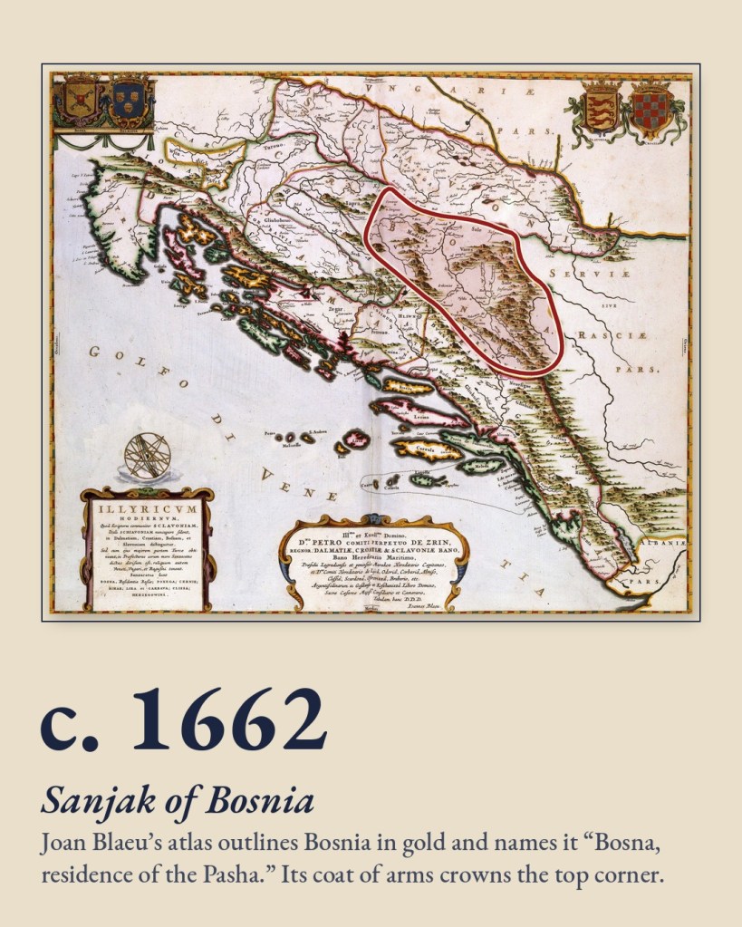
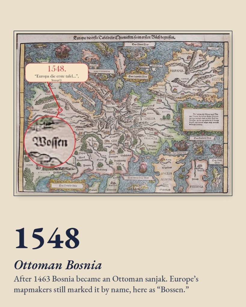
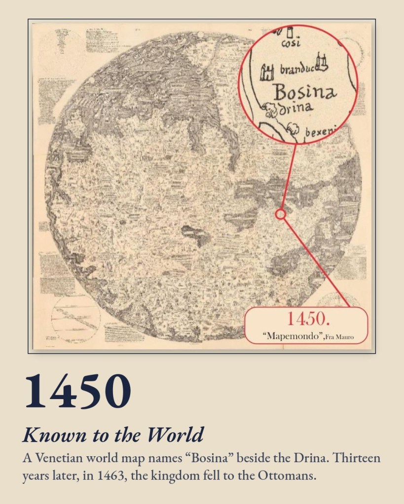
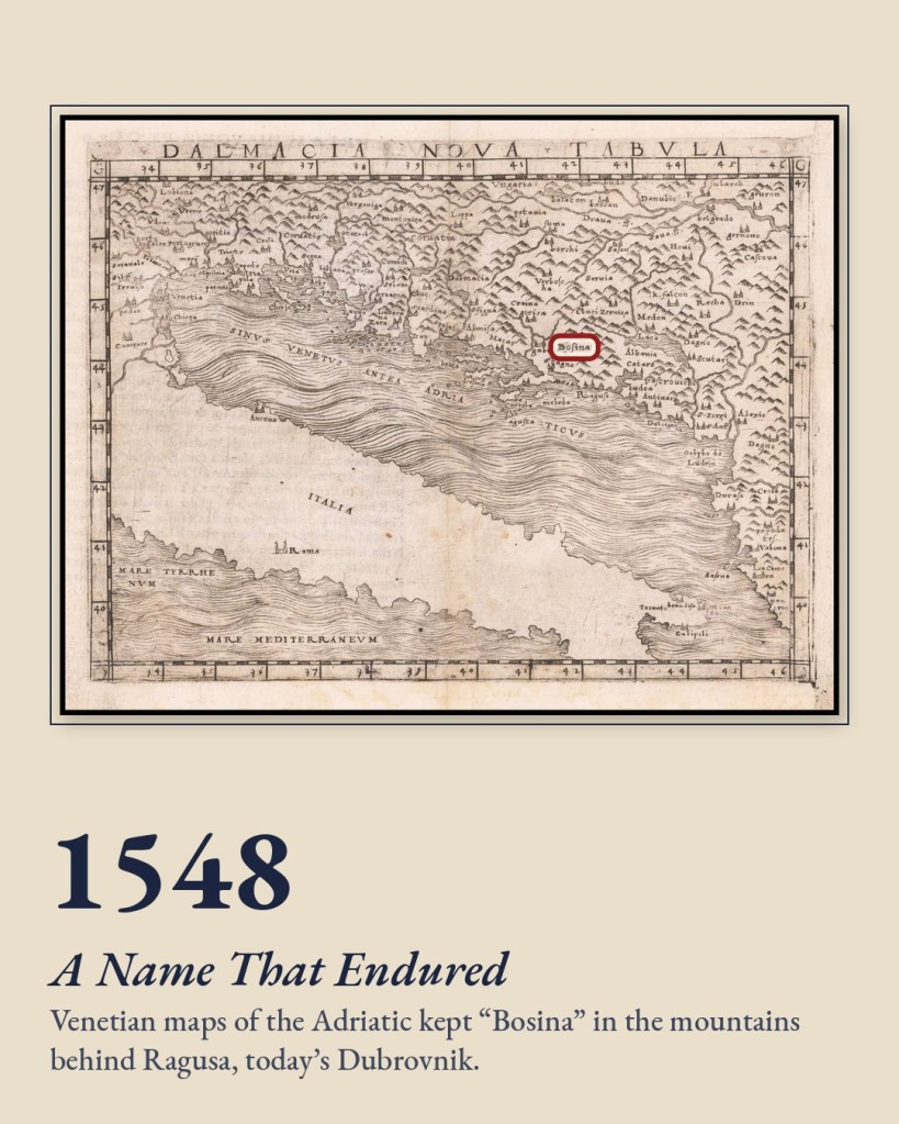
Around 1450 the Venetian monk Fra Mauro drew “Bosina” beside the Drina on his great world map. Thirteen years later, in 1463, the kingdom fell to the Ottomans. Yet European mapmakers never stopped writing its name, as Bossen, Bosina or Bossna.
The Ottoman Centuries
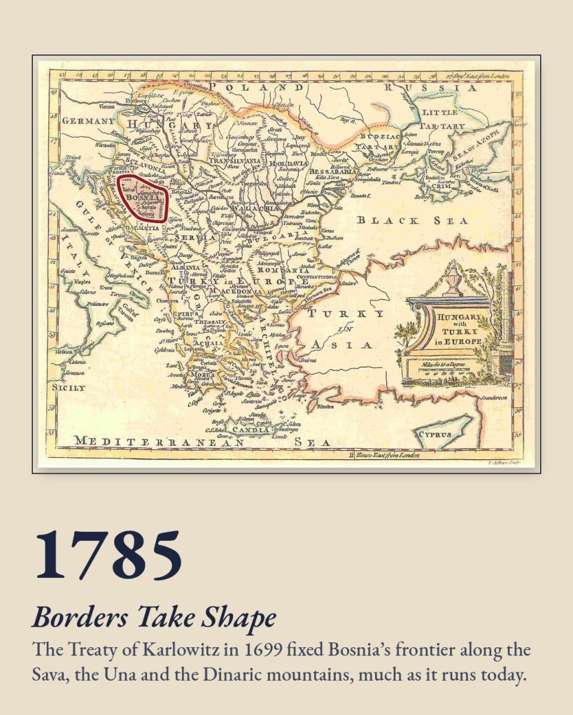
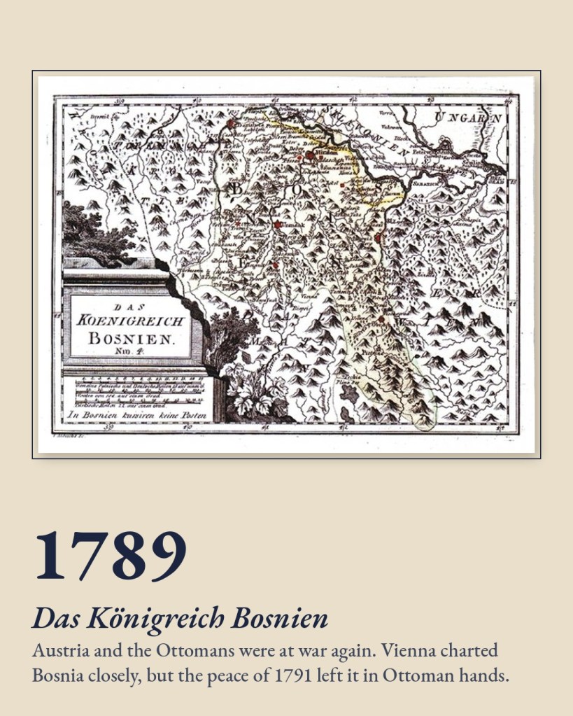
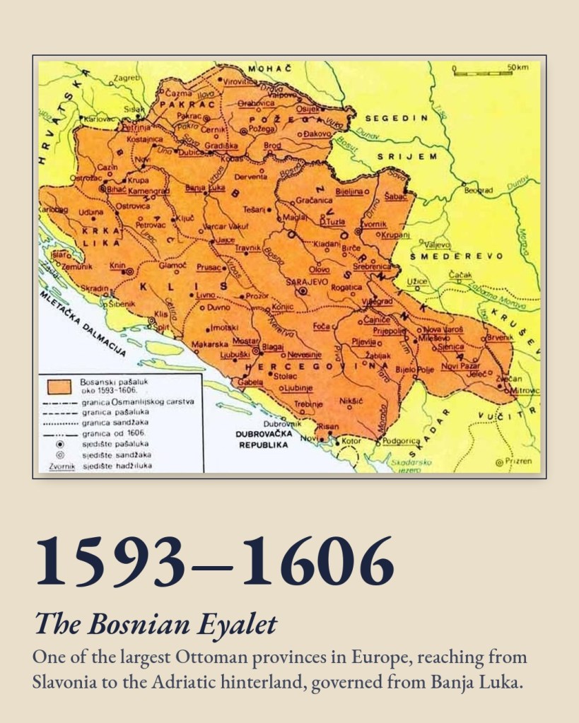
In 1580 Bosnia was raised to a full province, the Bosnian Eyalet, one of the largest Ottoman provinces in Europe. Around 1662 the Dutch cartographer Joan Blaeu labelled it “Bosna, residence of the Pasha.” As late as 1689, Italian maps still called it Il Regno della Bossina, the Kingdom of Bosnia, two centuries after the last king had gone.
The 1699 Treaty of Karlowitz fixed Bosnia’s frontier along the Sava, the Una and the Dinaric mountains. That frontier runs much as Bosnia and Herzegovina’s border does today.
Between Empires
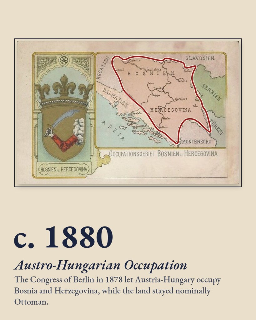
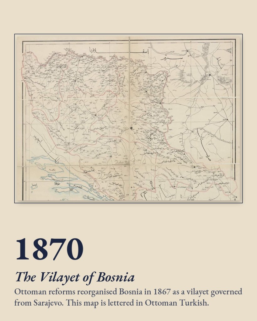
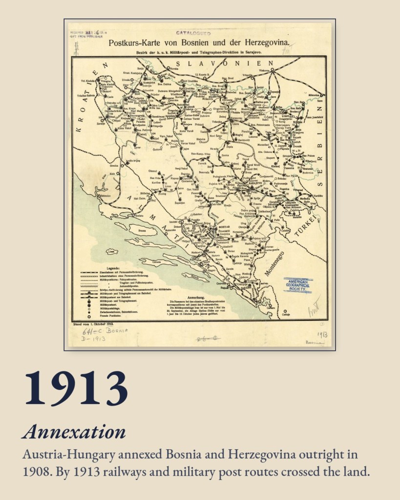
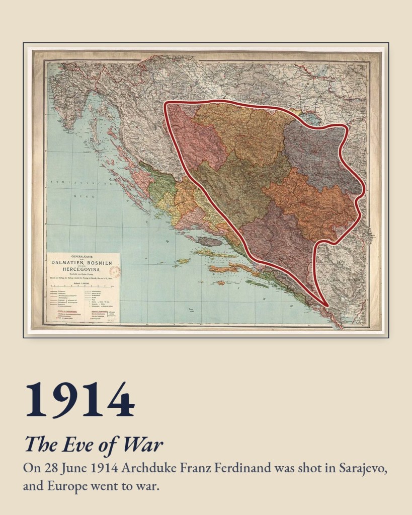
Ottoman reforms made Bosnia a vilayet in 1867, governed from Sarajevo. In 1878 the Congress of Berlin handed its administration to Austria-Hungary, which annexed it outright in 1908. Viennese surveyors mapped every road and rail line. Then, on 28 June 1914, a shot fired in Sarajevo set off the First World War.
Bosnia and Herzegovina
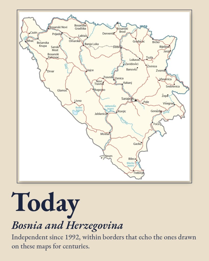
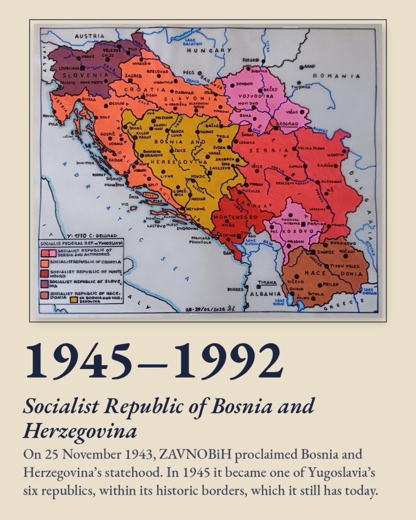
On 25 November 1943, ZAVNOBiH proclaimed Bosnia and Herzegovina’s statehood. In 1945 it became one of Yugoslavia’s six republics, within its historic borders. In 1992 it became an independent state, inside the same lines that mapmakers had been tracing for centuries.
Same Land, Many Maps
The spellings changed, and so did the empires and the colours on the page. But open any of these maps and the land is there, between the Sava and the sea, with its name written somewhere across its mountains. That may be the most remarkable thing about Bosnia’s map history: through two thousand years of upheaval, the country never quite disappeared.
See the full collection on our Historical Maps page


